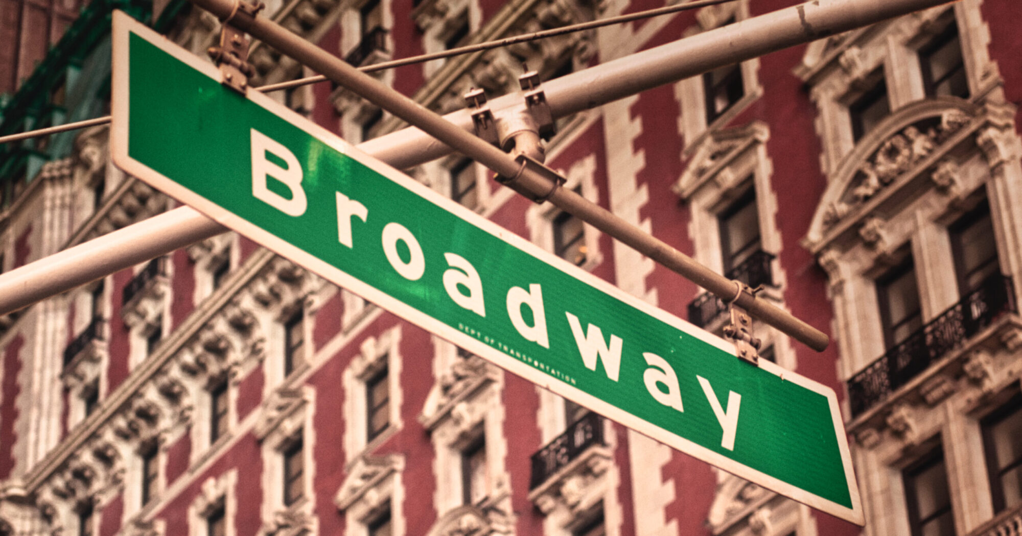
New York City‘s street grid is perfectly clean, organized and predictable. But then there’s Broadway, cutting right through that grid from 10th street onwards. Did you ever wonder why that is? And what it reveals about NYC’s hidden history?
Keep reading and take a journey through time to uncover why Broadway stands out—and how an old path still shapes the city today.
Broadway’s Origins: A Trail Before the City
Long before New York was a bustling city, the island of Manhattan was home to the Lenape people. They created trails through the forests, following the easiest paths over hills and around swamps. One of these ancient trails stretched from the southern tip of Manhattan (Where Downtown is today) all the way north.
When the Dutch arrived in 1624, they built a small settlement called New Amsterdam. Instead of designing a fixed street system, they simply expanded on the paths that were already there – including the Lenape trail. The Dutch called it “Brede Weg” (Dutch for “Broad Way”) because it was wider than all the other dirt paths in the village.
When the British took over the city in 1664 and renamed it New York, Broadway remained a central route. Over time, it became the city’s main north-south road, stretching far beyond the original settlement.
The Grid Arrives – But Broadway Stays
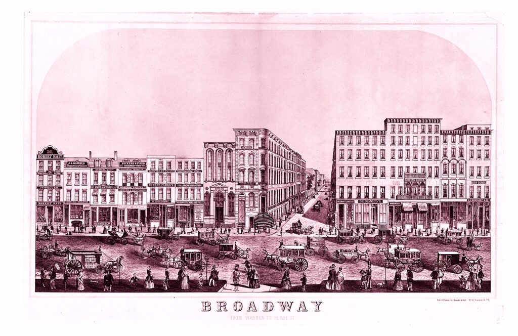
Fast forward to the early 1800s, New York City was growing fast. City planners realized they needed a logical, organized street system to handle the expansion. In 1811, they introduced the Commissioners’ Plan, which created the grid we know today: streets running east-west and avenues running north-south.
But Broadway was already there. It had been in use for nearly 200 years at that point, and instead of erasing it, planners decided to keep it as it was. That’s why, as the grid expanded, Broadway remained diagonal, cutting across streets and avenues instead of following their structure.
This decision had a massive effect on how the city developed. The intersections where Broadway crosses the grid created natural gathering places, which later became some of NYC’s most famous spots.
How Broadway Shaped Modern NYC
If Broadway had been erased, we might not have some of New York’s most iconic landmarks. Here are a few key places that exist because of Broadway’s unique path:
🔹 Times Square – Formed where Broadway crosses 7th Avenue, this bustling area wouldn’t exist without Broadway breaking the grid.
🔹 Union Square & Madison Square – These were originally Broadway intersections that turned into public squares.
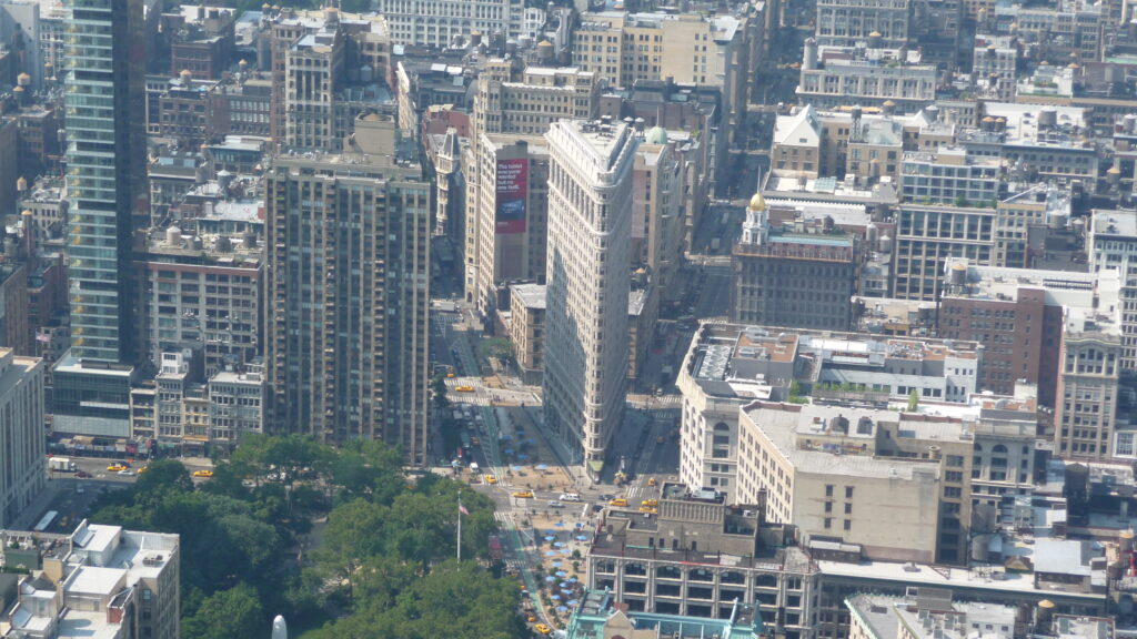
🔹 Flatiron Building – This iconic triangular skyscraper was only possible because of the awkward space created by Broadway’s path as you can see in the picture below.
Broadway didn’t just affect the city’s design – it also became its cultural heart. The street evolved into the home of theater and entertainment, leading to the development of the Broadway Theater District, which is still well-known today.
Picture taken by Henry2man / CC Attribution-Share Alike 3.0 Unported license
Broadway Today: A Living Piece of History
Today, Broadway remains one of the longest streets in New York City, stretching about 11 miles (18 km) through Manhattan. Broadway later changes into U.S. Route 9.
But even beyond its length, Broadway shows how a single road can shape an entire city – and how breaking the rules sometimes makes it even better.
So next time you’re walking through NYC and find yourself at a strange, diagonal intersection, look around. You’re standing on a piece of history – a street that predates the city itself.
Want More Hidden City History?
If you found this interesting, there will be plenty more to explore in future posts!
🔹 Why are some New York streets wider than others?
🔹 How was the famous Metro system of New York City planned and built?
🔹 Why do some neighborhoods have different street names?
Subscribe to the blog or check out more posts to keep uncovering the hidden stories behind the cities we live in!